Geology
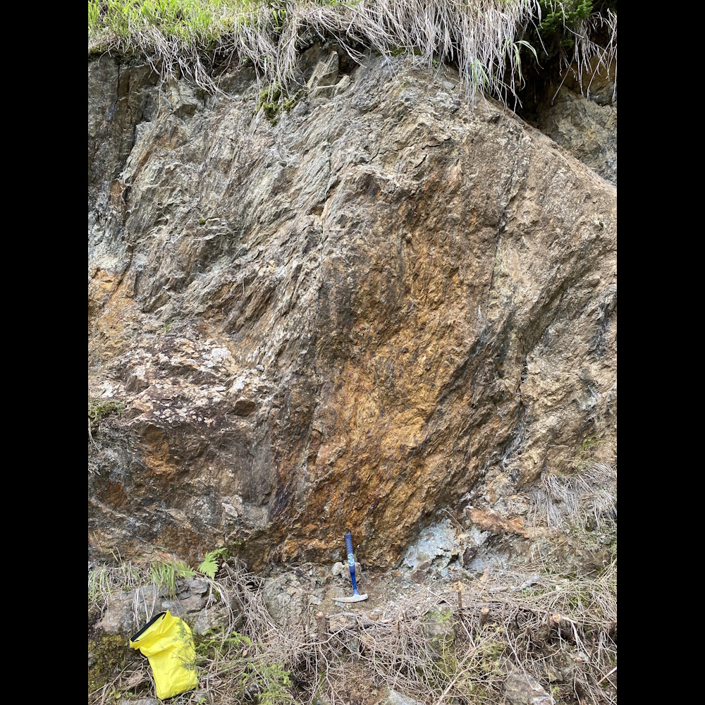
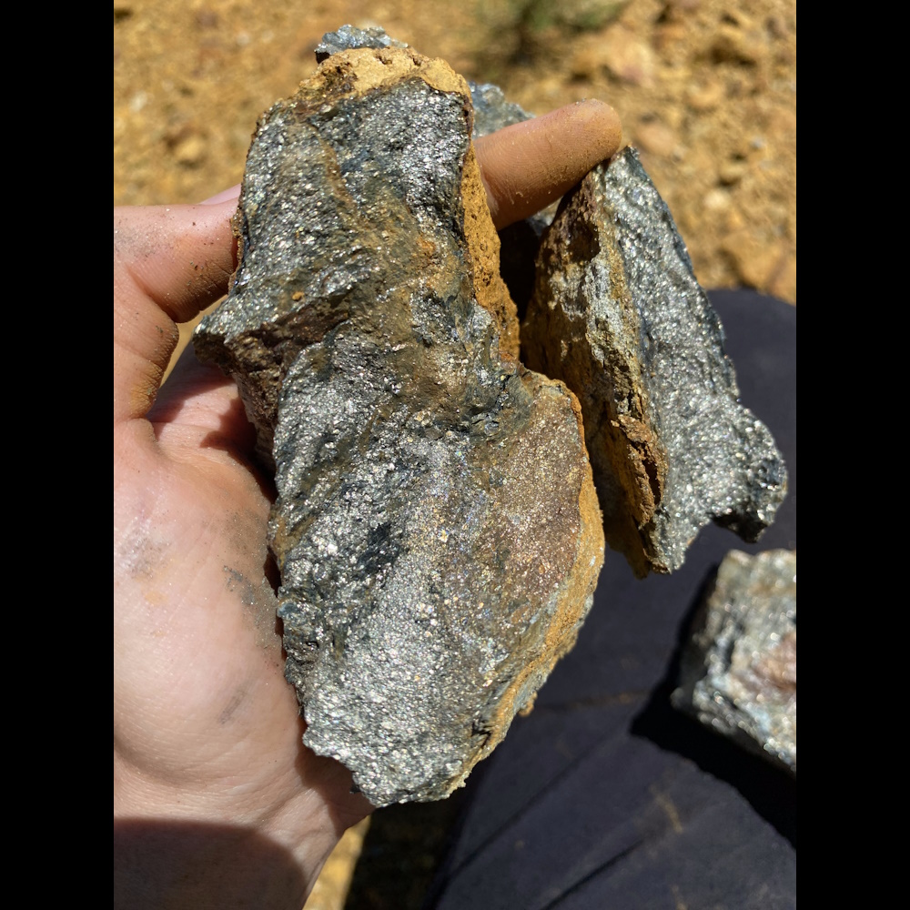
The Panzendorf mines are situated within the Turntaler Quartz Phyllite Zone, which stretches north of the Drau Range (Drauzug) from Lienz to the Villgraten Valley in the east. In this geological context, the Mesozoic rocks of the Drau Range are found to subside beneath the Quartz Phyllites when approaching from the south. Towards the north, the Phyllites are overlain by Eastern Alpine Crystalline gneisses and mica schists exhibiting high metamorphism levels. These formations also contain intercalated Triassic thrust sheets. The ore deposits within this region are primarily composed of pyrite and magnetite, found within gray, thinly schistose, muscovite-rich phyllites. Notably, these phyllites can sometimes contain significant crystal black hornblende with magnetite and minor ilmenite, and an increase in quartz content might result in compact quartzite formations.
The ore deposits are associated with a graphite schist zone, existing in both the hanging wall, footwall, and within the ore deposits themselves. These graphite schists exhibit pronounced chloritic alteration in connection with the ore.
This region, similar to the broader Eastern Alpine crystalline mountains, experiences tectonic activity, causing the graphite schist to be thrust up to 20 meters thick (as observed in the Lower Adit of Tessenberg).
The ore zones consist of closely spaced ore deposits, each comprising individual ore lenses. These lenses exhibit a greater extent in the vertical plane (along the dip) compared to the horizontal plane (strike). While a lens's strike can vary from several hundred meters to just a few meters, thicknesses of up to 4 meters have been exposed in both Tessenberg and Panzendorf.